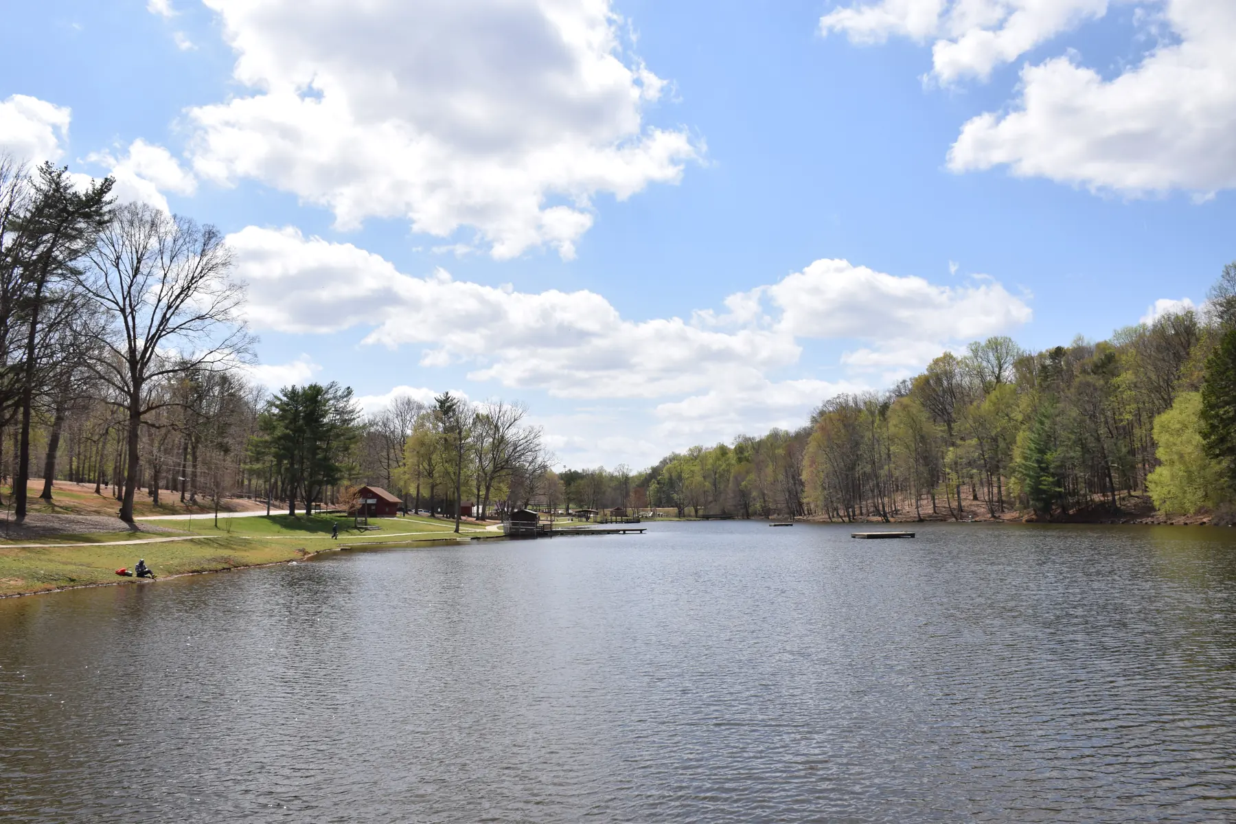
Greensboro's greenways and trails with distances, surfaces and trailhead parking: the Downtown Greenway, the A&Y, Lake Daniel and 30-plus miles of lake trails.
Last checked Oct. 11, 2026. Distances, surfaces and parking are from Greensboro Parks and Recreation’s greenways page and hiking trails page. Trail questions: 336-373-2489. Map: the city’s trail and parking map or the free Piedmont Discovery app.
Greensboro has paved greenways for walkers, bikes and wheelchairs, and more than 30 miles of dirt hiking trails around its city lakes. Greenways are multiple-use: bikes are allowed and encouraged. Most lake trails are out-and-back, so you return the way you came.
What this means for you
- Easiest paved loop: the 4-mile Downtown Greenway, with trailhead parking at Morehead Park and Five Points.
- Longest paved ride: the A&Y Greenway north from Country Park toward Bur-Mil Park; the trestle bridge north of Bur-Mil is closed.
- Lake hikes: the Nat Greene, Palmetto, Piedmont, Osprey and Townsend trails.
Greenways (paved)
| Greenway | Distance | Surface | Park here |
|---|---|---|---|
| Downtown Greenway | 4-mile loop | Asphalt and concrete | 475 Spring Garden St. (Morehead Park, accessible); Eugene and Bragg streets (Five Points) |
| Atlantic & Yadkin (A&Y) | From Country Park north toward Summerfield | Asphalt | Bur-Mil Park; Guilford Courthouse lot on Old Battleground Road; Country Park; Lewis Recreation Center; lot north of Strawberry Road |
| Lake Daniel Greenway | 2 miles | Concrete | Lake Daniel Park, West Friendly Avenue to Mendenhall Street |
| Bicentennial Greenway | About 8 miles in the city | Asphalt and gravel | North of the Guilford Courthouse lot on Old Battleground Road |
| Southeast Greenway | 1.2 miles | Asphalt | Sussman Park (street parking) |
| Northeast Community Trail | 1.2 miles | Asphalt | Rankin Mill Road, north of Huffine Mill Road |
| Shannon Hills Greenway | 1.15 miles | Concrete | Roadside, Glendale Drive to Vandalia Road |
| Hillsdale Greenway | 1 mile | Concrete | Roadside along Meadowview Road |
Downtown Greenway
A 4-mile loop around downtown, typically 12 feet wide with landscaping, lighting, benches, bike racks, drinking fountains and public art. It is open 24 hours a day; dogs must stay on a leash, according to the greenway’s FAQ. Besides the two trailhead lots, the city lists street parking at Smith and Prescott streets for the Tradition Cornerstone and at Lindsay and Cumberland streets for the Innovation Cornerstone. The Southeast Greenway links in near the Freeman Mill Road off-ramp and Lee Street.
Atlantic & Yadkin Greenway
Built on the old Atlantic and Yadkin railroad bed, the A&Y is Greensboro’s rail trail, running from the city toward Summerfield past Lake Brandt, where birders watch for bald eagles, herons and ospreys. The northernmost trestle bridge, between Strawberry Road and Bur-Mil Park, is closed. A structural assessment in September 2023 led to its replacement; construction is expected to start in fall 2026 and finish in fall 2027. There is no paved detour, and the Mountains-to-Sea Trail is rerouted along the Piedmont Trail. The H. Michael Weaver Bridge south of Bur-Mil Park is open. An extension south to downtown, Hill Street to Rollins Road, is in design, with construction planned from winter 2028 to summer 2029.
Lake and watershed trails (dirt)
The city counts more than 30 miles of hiking trails and more than 30 miles of shared mountain biking trails. Six watershed trails are part of the North Carolina Mountains-to-Sea Trail.
- Nat Greene Trail, Lake Brandt: one of the oldest and most popular, through hardwoods along the lake’s southeast edge, with a 400-foot boardwalk near the Old Battleground Road trailhead. Start from Lake Brandt Marina.
- Palmetto Trail, Lake Brandt: an easy out-and-back; link it with the A&Y and the Nat Greene Trail for a 4-mile loop. Hiking only.
- Piedmont Trail, Lake Brandt’s north shore: popular with hikers, trail runners and birders.
- Osprey Trail and Townsend Trail, Lake Townsend’s south shore: easy to moderate out-and-back trails for birding and running.
- Crockett Trail, Lake Townsend: hiking only, on a peninsula with fall foliage views; the trailhead is on North Church Street.
- Laurel Bluff Trail, along Reedy Fork Creek: hilly, through a mountain laurel grove.
- West House Trail, north of the Lake Jeannette spillway: ends at a historic home site built between 1815 and 1820.
The city asks hikers to stay off muddy trails, yield to uphill hikers, keep away from wildlife and note the rescue markers along the trails.
Park loops
- Country Park, 3905 Nathanael Greene Drive: 1.67 miles of paved trail plus nature, hiking and biking trails, part of the Battleground Parks District’s 13 miles of trails, according to the city. The park loop road is reserved for walkers and cyclists.
- Barber Park, 1500 Barber Park Drive: a 1-mile walking trail.
- Guilford Courthouse National Military Park, 2332 New Garden Road: battlefield trails, open 8:30 a.m. to 5 p.m. daily, according to the National Park Service.
Related: parks and trails, dog-friendly Greensboro and getting around Greensboro.
Frequently asked questions
How long is the Downtown Greenway in Greensboro?
The Downtown Greenway is a 4-mile paved loop around downtown, open 24 hours a day for walkers, runners and cyclists. Dogs are allowed on a leash.
Where can I park for the Downtown Greenway?
The city lists an accessible trailhead lot at 475 Spring Garden St. at Morehead Park, a trailhead lot at Eugene and Bragg streets at Five Points, and street parking at Smith and Prescott streets and at Lindsay and Cumberland streets.
Is the A&Y Greenway open?
Mostly. The northernmost trestle bridge over Lake Brandt, between Strawberry Road and Bur-Mil Park, is closed for replacement, with construction expected from fall 2026 to fall 2027. There is no paved detour; use a trailhead south of the bridge.
How many miles of hiking trails does Greensboro have?
More than 30 miles of hiking trails and more than 30 miles of shared mountain biking trails, mostly around the city’s lakes, according to Greensboro Parks and Recreation.
Have your say