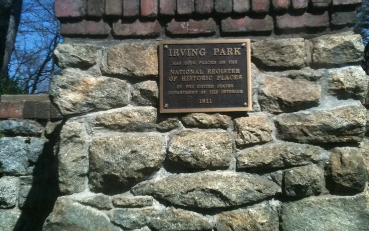
Irving Park is a 269-acre historic district north of downtown Greensboro in ZIP code 27408, zoned for Irving Park Elementary and Page High.
Last checked Oct. 11, 2026. Sources: the City of Greensboro’s historic districts, address points, parks and trails and GTA route map layers, Guilford County Schools’ 2026-27 attendance zone map, the N.C. Department of Public Instruction’s 2025-26 school test data, the Zillow Home Value Index (Zillow Research) and © OpenStreetMap contributors.
Irving Park lies north of Fisher Park, along North Elm Street and the winding streets around Sunset Drive. The Irving Park Historic District was listed on the National Register of Historic Places in 1995 and covers about 269 acres, by the state’s nomination file, which describes a residential area built from 1911 to 1941. OpenStreetMap also names Irving Park as a neighborhood.
What this means for you
- Zoned high school: Page High for every address in the district in 2026-27. Check an exact address with the district’s Student Assignment Locator.
- Home value: $346,268 in ZIP code 27408 in August 2026, according to the Zillow Home Value Index.
- Nearest interstate: I-40 exit 223 (U.S. 29 and U.S. 220), about 5.9 miles by road; I-840 exit 10 is about 6.1 miles.
Part of our Greensboro neighborhoods guide.
Where it is
The district stretches about 1.4 miles east to west and 0.7 miles north to south, north of Fisher Park. North Elm Street has more addresses than any other street in it, by the city’s address points, followed by Sunset Circle, Sunset Drive, Meadowbrook Terrace, Country Club Drive, Lafayette Avenue, Wentworth Drive and Irving Place.
The city’s address points show 372 addresses in the district. A little over half sit on land zoned for multifamily housing and the rest on single-family zoning. Almost all are in ZIP code 27408.
Schools
We checked every address in the district against Guilford County Schools’ 2026-27 attendance zone map on Oct. 11. Scores are the share of state tests at grade level in 2025-26, from the N.C. Department of Public Instruction.
| Level | Zoned school | Addresses | Tests at grade level, 2025-26 |
|---|---|---|---|
| Elementary | Irving Park Elementary, 1310 Sunset Drive | 372 of 372 | 58.0% |
| Middle | Mendenhall Middle, 205 Willoughby Blvd. | 372 of 372 | 44.5% |
| High | Page High, 201 Alma Pinnix Drive | 372 of 372 | 55.0% |
Statewide, 59.2% of tests were at grade level; across Guilford County Schools, 54.5%. Mendenhall Middle is on the state’s 2025-26 low-performing schools list with a D. Each school name links to its NC School Report Card. More in our schools guide.
Home values
Zillow’s typical home value in ZIP code 27408 was $346,268 in August 2026, up 0.8% from $343,579 a year earlier, according to the Zillow Home Value Index. The index is a modeled typical value for the middle third of homes, houses and condos together, not a sale price. ZIP code 27408 covers a wide area north and northwest of downtown, so the figure describes far more than Irving Park. Zillow’s figure for Greensboro as a whole was $263,264, level with a year earlier. More in our home prices guide.
Parks and trails
From the city’s parks and trails layers, inside the district or at its edge:
- Latham Park, 905 Cridland Road, about 65 acres, with the 1.2-mile Latham Park Greenway
- Hood Park, a natural area at 700 Sunset Drive
- Bill Craft Natural Area, 801 Nottingham Road, about 6 acres
- Elmwood Park, 101 Elmwood Drive
- Johnson Park, 1304 Briarcliff Road
The city also maps the 0.6-mile Irving Park Trail in the district. See our parks and trails guide.
Getting around
- Roads: North Elm Street runs north-south through the district; Cornwallis Drive and Wendover Avenue lie to the north and south.
- Downtown and City Hall: about 2.3 miles.
- Interstates: I-40 exit 223 is about 5.9 miles by road and I-840 exit 10 about 6.1 miles.
- Piedmont Triad International Airport: about 12.1 miles. Distances are measured on the OpenStreetMap road network with the OSRM routing engine from the middle of the district’s addresses; they are distances, not drive times.
- Bus: no GTA route runs through the district on the city’s route map; route 3 (N Elm/Church) serves North Elm Street to the south in Fisher Park. Track buses at TrackMyGTA.com. More in our getting around guide.
Groceries and everyday stores
From OpenStreetMap, within half a mile: Walgreens at 300 E. Cornwallis Drive and CVS Pharmacy at 309 E. Cornwallis Drive, Community Pharmacy at 301 E. Wendover Ave., Manna International Foods at 1403 Yanceyville St. and Food Lion at 2208 Golden Gate Drive.
How we drew this area
This page follows the boundary of the Irving Park Historic District on the City of Greensboro’s historic districts layer. Address counts, ZIP codes and zoning come from the city’s address points inside that line. Road distances and store locations use © OpenStreetMap contributors.
Frequently asked questions
What schools is Irving Park in Greensboro zoned for?
On Guilford County Schools’ 2026-27 zone map, all 372 address points in the Irving Park Historic District are zoned for Irving Park Elementary, Mendenhall Middle and Page High.
What ZIP code is Irving Park in?
- Nearly every address point in the district is in that ZIP code on the city’s map.
Is Irving Park a good place to live?
Here are the facts. Irving Park is a 269-acre National Register historic district about 2.3 miles by road from City Hall, with the 65-acre Latham Park and two small natural areas inside or at its edge, zoned for Page High. The typical home value in ZIP code 27408 was $346,268 in August 2026, according to Zillow.
When was Irving Park built?
The state’s National Register record describes the Irving Park Historic District as a residential area developed from 1911 to 1941. It was listed in 1995.
Have your say