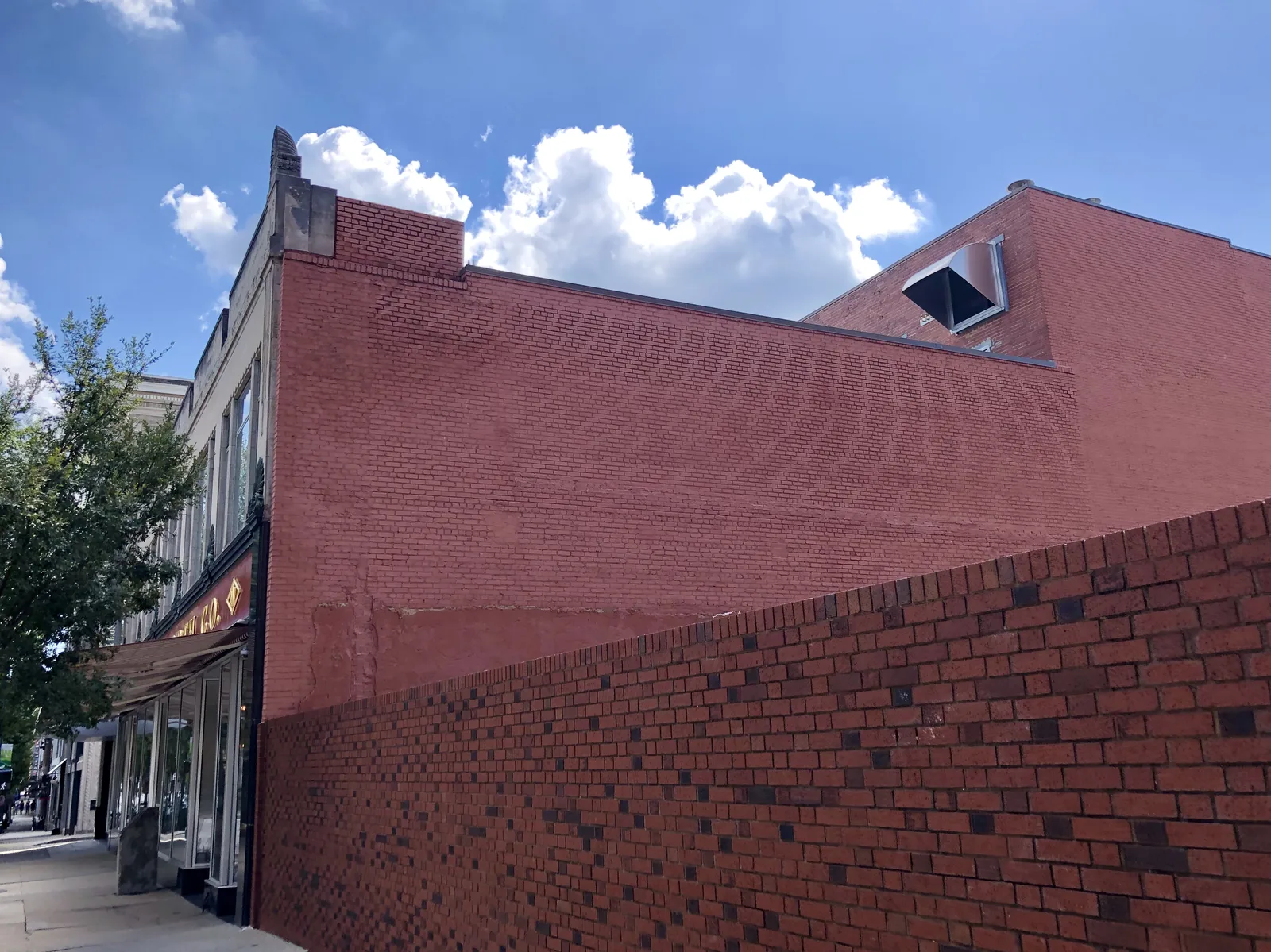
Downtown Greensboro covers about 615 acres on the city's 2040 plan map, mostly in ZIP code 27401, and is zoned for Grimsley High in 2026-27.
Last checked Oct. 11, 2026. Sources: the City of Greensboro’s 2040 comprehensive plan map layers, address points, parks and trails and GTA route map layers, Guilford County Schools’ 2026-27 attendance zone map, the N.C. Department of Public Instruction’s 2025-26 school test data, the Zillow Home Value Index (Zillow Research), Guilford County’s 2026-27 tax rates and © OpenStreetMap contributors.
Downtown is Greensboro’s center: the South Elm Street storefronts, the government and office towers along Elm, Greene and Eugene streets, and a growing ring of apartments and condos. The city’s 2040 comprehensive plan draws a Downtown area on its existing built form map of about 615 acres, and this page follows that line.
What this means for you
- Zoned high school: Grimsley High for every address in the area in 2026-27. Check an exact address with the district’s Student Assignment Locator.
- Home value: $182,377 in ZIP code 27401 in August 2026, according to the Zillow Home Value Index.
- Nearest interstate: I-40 exit 221 (South Elm-Eugene Street), about 3.3 miles by road.
Part of our Greensboro neighborhoods guide.
Where it is
The plan’s downtown area is about 1.2 miles north to south and 1 mile east to west, with Fisher Park and Dunleath to the north, College Hill to the west and Ole Asheboro to the south. South Elm Street has more addresses than any other street in it, by the city’s address points, followed by North Eugene Street, North Elm Street, King Street and Spring Garden Street.
The city’s address points show 4,601 addresses inside the line, homes and businesses together. About 82% sit on land zoned for central business use, which allows apartments above and beside shops and offices. 3,606 are in ZIP code 27401 and 964 are in 27406, the southern edge.
The Downtown Greensboro Historic District, listed on the National Register of Historic Places in 1982 and about 82 acres by the state’s nomination file, covers the old commercial blocks along Elm Street. Properties in the Greensboro Downtown Improvement District pay an extra 9 cents per $100 of value in 2026, on Guilford County’s rate table. For things to do, see our downtown Greensboro guide.
Schools
We checked every address in the area against Guilford County Schools’ 2026-27 attendance zone map on Oct. 11. Scores are the share of state tests at grade level in 2025-26, from the N.C. Department of Public Instruction.
| Level | Zoned school | Addresses | Tests at grade level, 2025-26 |
|---|---|---|---|
| Elementary | Lindley Elementary, 2700 Camden Road | 4,464 of 4,601 | 66.3% |
| Elementary | Jones Elementary, 502 South St. | 111 of 4,601 | 55.6% |
| Elementary | Gillespie Park Elementary, 1900 Martin Luther King Jr. Drive | 22 of 4,601 | 33.8% |
| Middle | Kiser Middle, 716 Benjamin Parkway | 4,601 of 4,601 | 56.4% |
| High | Grimsley High, 801 N. Josephine Boyd St. | 4,601 of 4,601 | 69.7% |
Statewide, 59.2% of tests were at grade level; across Guilford County Schools, 54.5%. Gillespie Park Elementary is on the state’s 2025-26 low-performing schools list with an F. Each school name links to its NC School Report Card. More in our schools guide.
Home values
Zillow’s typical home value in ZIP code 27401 was $182,377 in August 2026, down 2.8% from $187,608 a year earlier, according to the Zillow Home Value Index. The index is a modeled typical value for the middle third of homes, houses and condos together, not a sale price. ZIP code 27401 also covers Fisher Park, the Heath area and much of east Greensboro. In 27406, the southern edge, the figure was $227,489, up 1.1%. Zillow’s figure for Greensboro as a whole was $263,264, level with a year earlier. More in our home prices guide.
Parks and trails
From the city’s parks layer, inside the area or at its edge:
- Morehead Linear Park, part of the Downtown Greenway, 443 Spring Garden St.
- Mary Lynn Richardson Park, 229 N. Church St.
- Youth Park Plaza, 202 Summit Ave.
- LoFi Park, 500 N. Eugene St.
- Woven Works Park and Cumberland Park, 401 Cumberland St.
- Meeting Place Park, 801 W. Smith St.
- Southside Town Square, 328 Martin Luther King Jr. Drive
- Green Hill Cemetery, 901 Wharton St., about 49 acres
The Downtown Greenway, a 4.15-mile loop on the city’s trails layer, and the Southeast Greenway both pass through. See our parks and trails guide.
Getting around
- Roads: Elm Street and Eugene Street run north-south; Market Street, Friendly Avenue and Gate City Boulevard run east-west.
- I-40: exit 221 (South Elm-Eugene Street) is about 3.3 miles by road.
- Piedmont Triad International Airport: about 12.2 miles. Distances are measured on the OpenStreetMap road network with the OSRM routing engine from the middle of the area’s addresses; they are distances, not drive times.
- Bus: all 16 of the Greensboro Transit Agency’s numbered city routes on the city’s route map pass through downtown, and most start at the Downtown Depot. Track buses at TrackMyGTA.com. More in our getting around guide.
Groceries and everyday stores
From OpenStreetMap: Deep Roots Market, a grocery at 600 N. Eugene St., is inside the area. Larger supermarkets are outside it; the nearest pharmacies on the map are on East Wendover Avenue and Summit Avenue to the north.
How we drew this area
This page follows the Downtown area on the City of Greensboro’s 2040 comprehensive plan existing built form map. Address counts, ZIP codes and zoning come from the city’s address points inside that line. Road distances and store locations use © OpenStreetMap contributors.
Frequently asked questions
What schools is downtown Greensboro zoned for?
On Guilford County Schools’ 2026-27 attendance zone map, every address in the downtown area is zoned for Kiser Middle and Grimsley High. Most are zoned for Lindley Elementary, with small parts zoned for Jones and Gillespie Park elementary schools.
What ZIP code is downtown Greensboro?
Mostly 27401. Of 4,601 city address points in the downtown area, 3,606 are in 27401 and 964 are in 27406, on the south side.
Is downtown Greensboro a good place to live?
Here are the facts. Downtown is about 615 acres on the city’s plan map, with 4,601 address points, most of them zoned for central business use, a dozen city parks and greenway sections and 16 GTA bus routes. It is zoned for Grimsley High, and the typical home value in ZIP code 27401 was $182,377 in August 2026, according to Zillow.
Do downtown Greensboro properties pay an extra tax?
Properties in the Greensboro Downtown Improvement District pay 9 cents per $100 of value on top of the county and city rates in 2026, according to Guilford County’s rate table.
Have your say