Glenwood is a 757-acre planning area southwest of downtown Greensboro, almost all in ZIP code 27403, zoned for Peck Elementary and Smith High.
Last checked Oct. 11, 2026. Sources: the City of Greensboro’s neighborhood plans, address points, parks and trails and GTA route map layers, Guilford County Schools’ 2026-27 attendance zone map, the N.C. Department of Public Instruction’s 2025-26 school test data, the Zillow Home Value Index (Zillow Research) and © OpenStreetMap contributors.
Glenwood lies southwest of downtown and south of College Hill, a large area of houses, apartments and some industrial land. On the city’s map of neighborhood plans it is the Glenwood plan area, about 757 acres. The city describes its 2008 plan for Glenwood as covering “one of Greensboro’s oldest suburban neighborhoods,” with goals that include more home ownership and upkeep, infill housing and better access to shops and services. OpenStreetMap also names Glenwood as a place.
What this means for you
- Zoned high school: Smith High for every address in the area in 2026-27. Check an exact address with the district’s Student Assignment Locator.
- Home value: $237,287 in ZIP code 27403 in August 2026, according to the Zillow Home Value Index.
- Nearest interstate: I-40 exit 217 (Gate City Boulevard and Koury Boulevard), about 2.3 miles by road.
Part of our Greensboro neighborhoods guide.
Where it is
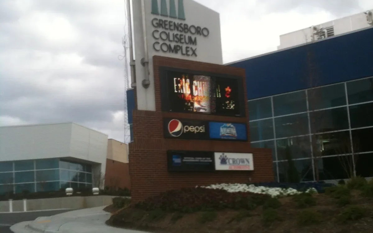
The area is about 1.5 miles north to south and 1.4 miles east to west, south of College Hill. Lexington Avenue has more addresses than any other street in it, by the city’s address points, followed by South Josephine Boyd Street, Glenwood Avenue, Oak Street, West Gate City Boulevard, McCormick Street, Grove Street and Highland Avenue. The Greensboro Coliseum Complex sits just outside its western edge.
The city’s address points show 2,602 addresses: 67% on land zoned for single-family homes and 11% on multifamily zoning, with the rest on industrial, commercial and mixed-use zoning. 2,547 are in ZIP code 27403 and 51 in 27406.
Schools
We checked every address in the area against Guilford County Schools’ 2026-27 attendance zone map on Oct. 11. Scores are the share of state tests at grade level in 2025-26, from the N.C. Department of Public Instruction.
| Level | Zoned school | Addresses | Tests at grade level, 2025-26 |
|---|---|---|---|
| Elementary | Peck Elementary, 1601 W. Florida St. | 2,602 of 2,602 | 33.9% |
| Middle | Jackson Middle, 2200 Ontario St. | 2,602 of 2,602 | 29.4% |
| High | Smith High, 2407 S. Holden Road | 2,602 of 2,602 | 44.1% |
Statewide, 59.2% of tests were at grade level; across Guilford County Schools, 54.5%. Peck Elementary (a D) and Jackson Middle (an F) are on the state’s 2025-26 low-performing schools list. Peck runs from pre-kindergarten through sixth grade. Each school name links to its NC School Report Card. More in our schools guide.
Home values
Zillow’s typical home value in ZIP code 27403 was $237,287 in August 2026, down 0.7% from $239,052 a year earlier, according to the Zillow Home Value Index. The index is a modeled typical value for the middle third of homes, houses and condos together, not a sale price. ZIP code 27403 also covers Sunset Hills, Lindley Park and College Hill, so it is a broad figure. Zillow’s figure for Greensboro as a whole was $263,264, level with a year earlier. More in our home prices guide.
Parks and trails
From the city’s parks and trails layers, inside the area or at its edge:
- Morris Farlow Memorial Park (Glenwood Park), 1210 Glenwood Ave.
- Old Peck Park, 1101 Fairbanks St., about 6 acres
- Steelman Park, 925 Highland Ave., about 4 acres
- Glenwood Community Park and Glenwood Recreation Center, 2010 Coliseum Blvd., about 7 acres
- Maywood Park, 2011 Maywood St.
- Warnersville Community Park and recreation center, 601 Doak St., to the east
The Downtown Greenway and the Southeast Greenway touch the area. See our parks and trails guide.
Getting around
- Roads: Gate City Boulevard runs east-west through the area to downtown; Coliseum Boulevard runs along its western side.
- Downtown and City Hall: about 2.2 miles.
- I-40: exit 217 (Gate City Boulevard and Koury Boulevard) is about 2.3 miles by road.
- Piedmont Triad International Airport: about 12 miles. Distances are measured on the OpenStreetMap road network with the OSRM routing engine from the middle of the area’s addresses; they are distances, not drive times.
- Bus: GTA routes 2 (Four Seasons) and 11 (Gate City Blvd) run through the area on the city’s route map. Track buses at TrackMyGTA.com. More in our getting around guide.
Groceries and everyday stores
From OpenStreetMap: a Food Lion at 1911 Coliseum Blvd. and a CVS Pharmacy are inside the area. Nearby are Piggly Wiggly at 819 W. Florida St. and Walgreens at 1600 Spring Garden St.
How we drew this area
This page follows the Glenwood plan area on the City of Greensboro’s neighborhood plans map. Address counts, ZIP codes and zoning come from the city’s address points inside that line. Road distances and store locations use © OpenStreetMap contributors.
Frequently asked questions
What schools is Glenwood in Greensboro zoned for?
On Guilford County Schools’ 2026-27 zone map, all 2,602 address points in the Glenwood planning area are zoned for Peck Elementary, Jackson Middle and Smith High.
What ZIP code is Glenwood in?
- Of 2,602 address points in the area, 2,547 are in 27403 and 51 in 27406.
Is Glenwood a good place to live?
Here are the facts. Glenwood is a 757-acre area about 2.2 miles by road from City Hall and 2.3 miles from I-40, with six city parks inside or at its edge, a supermarket and two GTA bus routes, zoned for Smith High. The typical home value in ZIP code 27403 was $237,287 in August 2026, according to Zillow.
How old is the Glenwood neighborhood?
The city’s 2008 Glenwood neighborhood plan calls Glenwood one of Greensboro’s oldest suburban neighborhoods.
Have your say